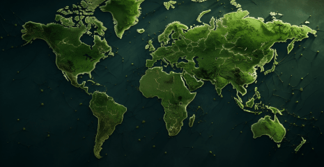
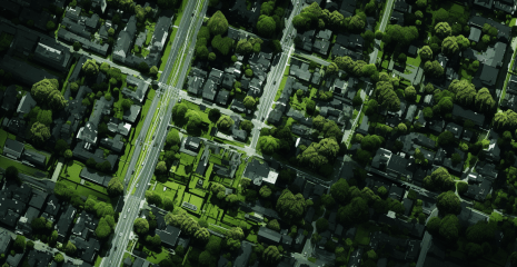
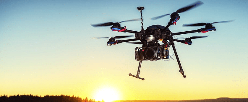
In an era of technological innovation, video shooting from drones opens new horizons in the field of geospatial intelligence (GEOINT) and cartography. The article “Sky View: Drone Videography in the World of GEOINT and Mapping” will introduce you to the best methods and tools in this field. Thanks to drones, specialists have been able to carry out detailed surveying of hard-to-reach areas, visualize geospatial data and even create three-dimensional terrain models. This article examines exactly how drone videography is revolutionizing cartographic science. The use of drones in geospatial analysis allows you to get an accurate and operational result, which is indispensable in modern research.
How do they affect data quality? What new opportunities do they open up for GEOINT? All these questions are answered in the article. Cartography, under the influence of video recording technologies from drones, is transformed, becoming even more accurate and dynamic. The article demonstrates how the highest quality geodata display can be achieved with the help of modern tools. If you are looking to expand your knowledge of geospatial analysis, mapping, and drone technology, this article will provide you with valuable information and practical guidance. “Heavenly View” immerses the reader in a world where the sky and technology merge, opening new perspectives in the field of GEOINT and cartography.
A database of drone footage and a community of travel and quadcopter enthusiasts.
Drone videos of stunning scenery and action from around the world. These best videos really show how beautiful our planet earth is.
The official website offering assistance to Remotely Piloted Aircraft pilots by providing the aeronautical information they need to plan safe operations.
Discover, watch and share exciting drone videos of scenic locations, as well as videos from the world’s best drone racers and FPV freestyle pilots.