03.05.2023
3 min
1598

In the article, we look at a fascinating case where a team used geointelligence to determine exact coordinates to within 10 meters. Using intuition and detailed map study. A detailed description of the process of determining coordinates, analysis of satellite images, as well as the objects that became the object of our research is presented.

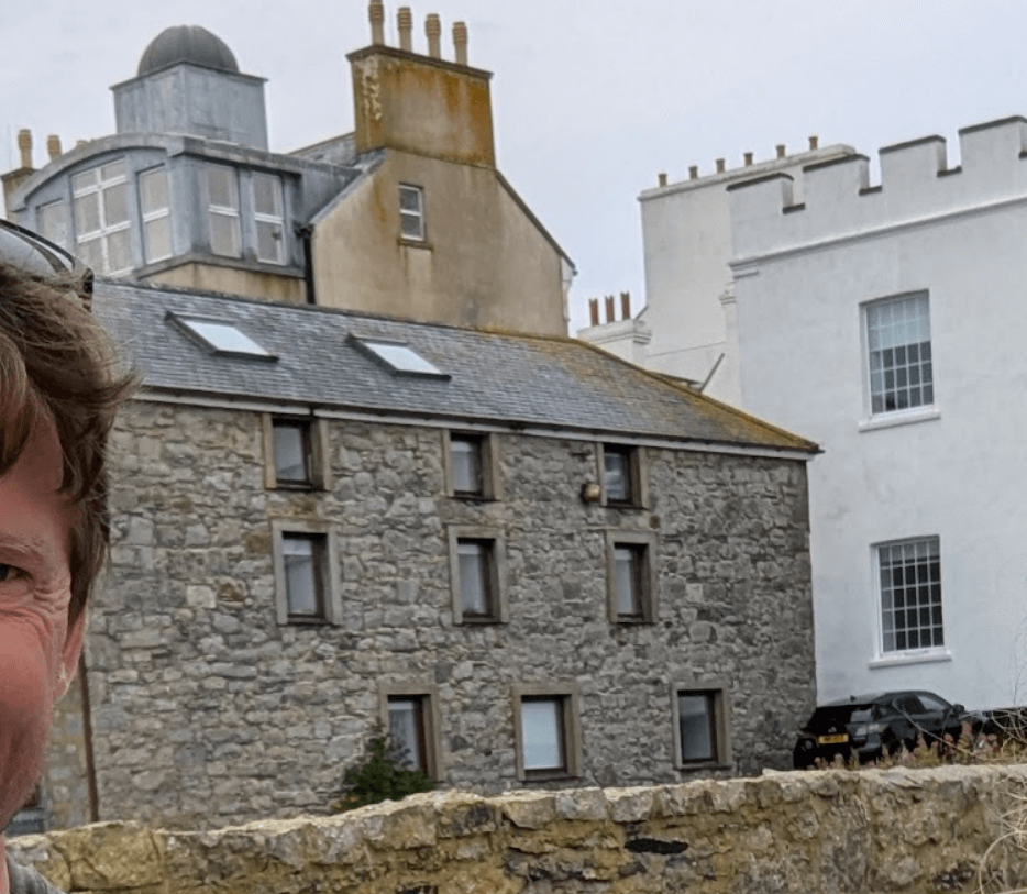
It is this photo that we will find:
A little hint was immediately given. The prompt looked like this.
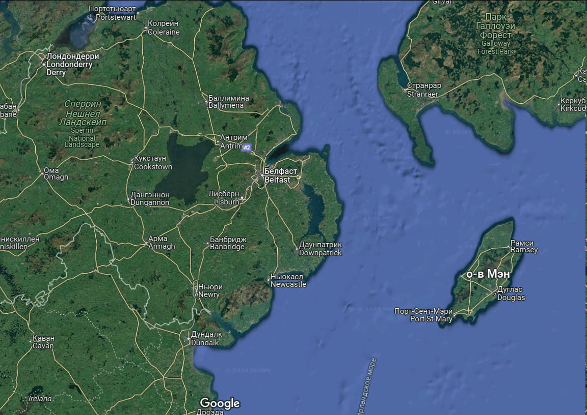
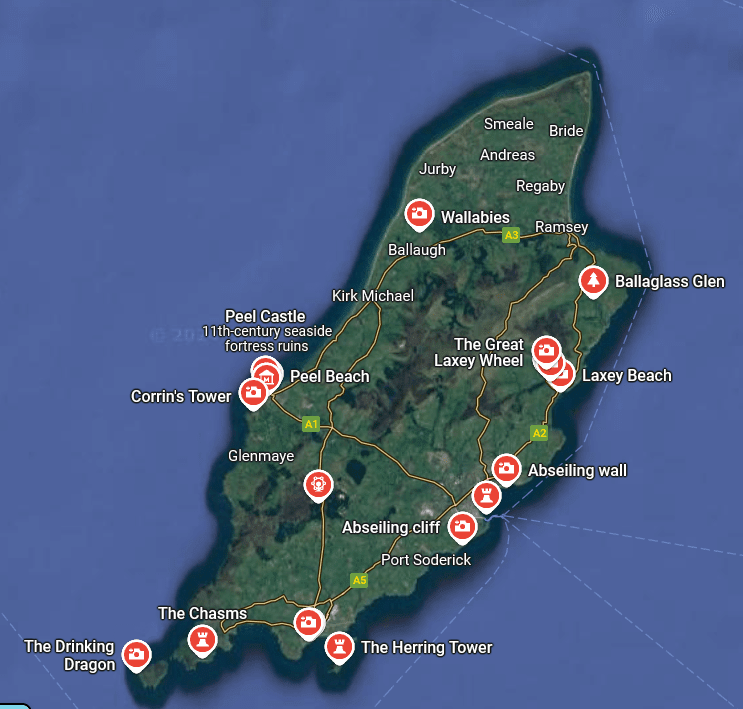
The brain began to work slowly, and intuition pointed to the Isle of Man as the most attractive object on the map.
After studying the island with the help of satellite images, it became obvious that there are not so many old houses. Basically, these are various fortresses.
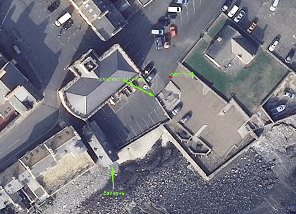
Water can be seen behind the buildings, probably the sea. The white sign contains a warning about the danger of high tide. In general, this is the coast. The stone tablet probably indicates some tourist attraction. Therefore, it was decided to search the map for the word “attractions” to understand which places are worth visiting.
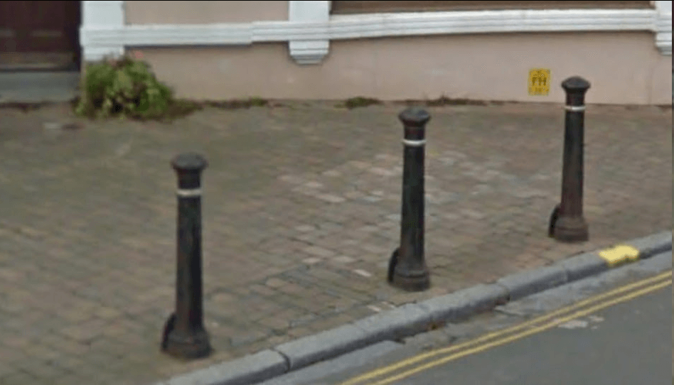
After some wandering through the streets of Maine, several similar objects were discovered.
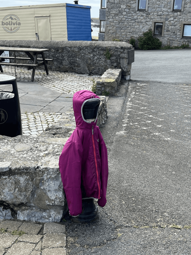
A cute pink trash can that resembles ours.
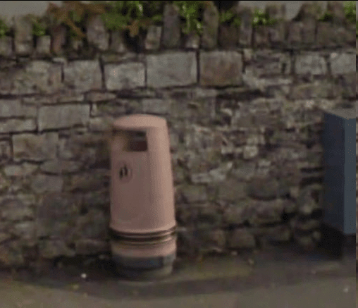
All these objects were found in the city of Castletown. Although it’s not quite relevant, the building of the local college deserves to be admired.
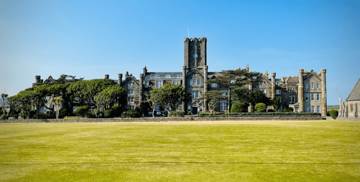
All in all, Castletown made such an impression that it was decided to go through the pictures of the place until we found one related to the Old Grammar School.
It was decided that two places could not have such horrible balconies. Just in case, the bricks between the balconies were counted — there were 7 of them. They found a photo from a different angle, and it was definitely our house.