20.10.2023
4 min
1844

In the article you will find a comprehensive overview of modern technologies and methods used in geospatial research and mapping. The article covers a wide range of tools – from basic to advanced, revealing their capabilities, areas of application and impact on the development of land management, ecology, urban planning and other areas.
A tool from EOS that allows users to easily view, analyze and download satellite images from various sources for land monitoring.
A platform for visualizing different types of real-time geospatial data, including weather, traffic, and more, on interactive maps.

A service from Esri that allows you to create interactive maps and stories using map data to present information in an engaging way.

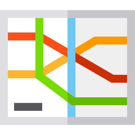
An open project showing a detailed map of the world’s railway networks, including stations, routes and other important railway facilities.
A set of simple online tools for measuring distances, calculating area, finding coordinates and more that can be useful for quick geospatial analyses.
A resource that provides information and geospatial data on the wildlife and ecosystems of the North American Great Lakes, important for biodiversity research.
A portal for accessing historical maps from various libraries and archives around the world. It is an excellent resource for researching historical changes in landscapes.
Provides a variety of tools for developers to geocode, measure distances and areas, and integrate maps into websites.
A service for sharing photos taken by users that create a collective view of city streets and roads from the perspective of pedestrians, cyclists and drivers.
A New Zealand government service that provides access to a wide range of land information, including cartographic data, topographic maps and marine navigational charts.
A service for viewing satellite and aerial photographs of the earth’s surface in real time, using data from various sources, which allows users to obtain up-to-date images from a bird’s eye view.

Scribble Maps is a tool for creating customizable maps that can include annotations, markers, drawings, and other elements for planning, presentations, and educational purposes.
A route planning and navigation platform that provides detailed maps, directions and real-time traffic information. Its tools also include location finders and geocoding services.
An online tool from the US Geological Survey to search, view, and download a wide range of geospatial data, including satellite images, geological maps, and climate data.
A resource that provides information and geospatial data on the wildlife and ecosystems of the North American Great Lakes, important for biodiversity research.