25.04.2023
8 min
1674

Agree, lying on the seashore, to observe your own yard from a bird’s eye view. Or study an unfamiliar area, where you just have to go, without leaving home. All you need to do is find someone who will take photos of interesting places for you. Why do you even need all these mapping programs? Well, what is logical for creating maps. But why do you need maps – that’s another question. And you can do it easier – use a satellite map. Satellite maps are satellite images of the earth’s surface and satellite images of the entire world. To create satellite maps, Google used images from the Landsat 7 satellite. They delight the eye and allow us to see our world through different eyes. Making attractive and informative maps that help tell stories is a great art to learn. Actually, why are all these mapping programs needed? Seriously? There are so many cards on the Internet that there seems to be enough for all occasions.

In recent years, I’ve experimented with dozens of mapping tools and libraries. A smartphone is a great helper for everyday purposes. You can view various maps and satellite images on your phone, which will be useful to anyone. Also, if you have a GPS navigator, you can work with navigation data (points, tracks and routes), which will help you prepare for a future hike, trip, expedition, and then you can view where you wandered (including various statistics: data over time , height, speed of your movement, etc.). But if you’re willing to put in the time, you can create great data visualizations with these tools.
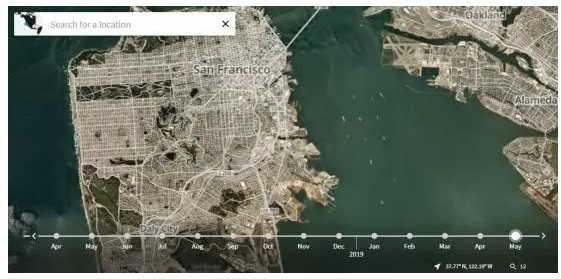
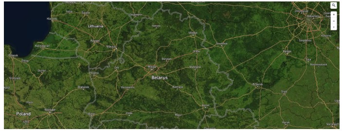
Google Maps – it is the most popular tool for viewing terrain. It is easy to use and has tons of labels and settings as well:
Several viewing modes (map, satellite, terrain), images of traffic jams, public transport and infrastructure;
Viewing the terrain map in 3D mode;
Street panoramas;
Navigation and construction of routes;
Coordinates of objects;
Search by address.
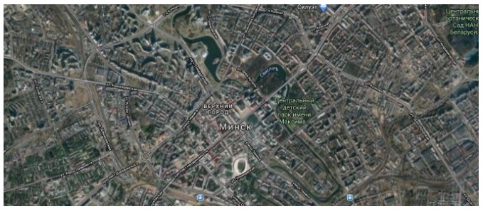
But the best thing about Google Maps is that the service is regularly updated. It is difficult to find images older than three years.
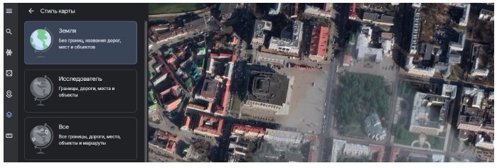
Google Earth – is a software from Google that is not inferior to Google Maps, and in some respects even surpasses it.
In our opinion, Google Earth presents better quality images and is more convenient to use.
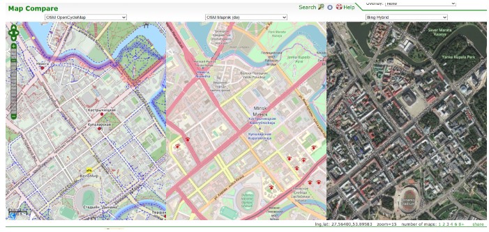
BBBike Map Compare – a unique service that allows you to work with three map services at the same time.
As you move and zoom one of the cards, the other two will follow your actions synchronously. The choice is available OpenStreetMap, Bing Maps, Google Maps.
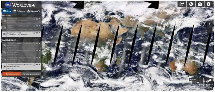
NASA Worldview – a NASA service designed to view our planet in real time.
NASA Worldview shows more than 800 layers of satellite images. And, as a rule, the time delay in most is only 3 hours.
Mapbox is an American provider of online maps for websites and apps such as Foursquare, Lonely Planet, Facebook, Financial Times, The Weather Channel and Snapchat. A distinctive feature of Mapbox is the availability of high-resolution satellite images. The service uses images from top commercial satellites such as DigitalGlobe.
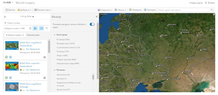
Esri World Imagery is currently one of the most accurate services for working with satellite maps.
Esri is an American company, a manufacturer of geographic information systems. The ArcGIS family of software products has become widespread in the world and, in particular, in Russia. The service allows you to quickly and efficiently view satellite maps with a resolution of up to 3 cm.
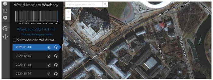
Esri’s Way Back Atlas is a service from the previous company, a distinctive feature of which is the ability to view images dated to different time periods. Yes, the archive sometimes contains pictures from 2014 as well.
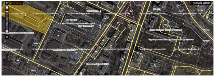
Wikimapia – an international free website, an online geographic encyclopedia whose purpose is to mark and describe all geographic features on Earth. Wikimapia combines an interactive map with the principle of free wiki editing.
Planet Explorer similar to the golden vein of satellite maps. Not only does it show satellite maps from more than 120 microsatellites, we also get almost daily updates with a resolution of up to 2.5m.
However, the service is paid: first we need to register an account. The first 15 days are free.