19.12.2023
3 min
1818

Check out our article for a list of advanced seat checking tools. This article is a must-read not only for regular users, but also for journalists, researchers, and professionals seeking to verify the veracity of events reported by crowds or social media. Learn how to use innovative digital tools to cross-check and confirm that events actually occurred in specific locations. Improve your investigative skills and ensure the accuracy of your reports with these essential inspection resources.
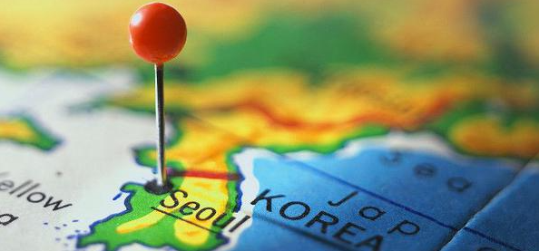
In this article, you will find a list of tools to check the location verification. These tools will help you verify if the events actually happened in the places mentioned on social media or by witnesses. This is an important resource for journalists, researchers, and other fact-checking professionals. which will help you assess the reliability of the information. You will be able to master the techniques of geolocation analysis and determining the source of information. This will enable you to draw informed conclusions about events based on accurate and verified data.
Extracts text from images that can then be added to Google Translate or searched in other mapping resources.
![]()
Provides weather forecasts similar to Météo-France, offering detailed and accurate weather forecasts and meteorological data.
Google Translate Can be used to detect location clues (such as signs) written in other languages.
A collaborative project to create a free, editable world map similar to Google Maps, but with an emphasis on local knowledge and community input.

The French Meteorological Agency provides freely available Europe-oriented radar and satellite images, maps and climate modeling data.
A geographic database that covers all countries and contains over eleven million geographic names useful for geographic information.

United States ZIP Codes Online map of the United States classified by zip code. Users can search for a specific zip code or explore the map to find information about different zip codes.

A reverse image lookup system that allows users to find where the image came from, how it is used, if there are modified versions of the image, or to find higher resolution versions.

The Earth Observatory was created to share satellite images and information with the public. It acts as a global image data repository with freely available maps, images and datasets.
Search for photos with geolocation. It is an online service for storing, sharing and managing photos and videos. It allows users to upload, organize and share their images and videos with other users.

A computational answer system that answers questions using structured and curated data from its knowledge base. Unlike search engines that provide a list of relevant sites, Wolfram Alpha provides direct answers.
An online map that provides high-resolution aerial or satellite images covering most of the Earth. Includes a number of viewing options, such as terrain, weather information, and a 360-degree street-level view.
![]()