Bellingcat Online Investigation Kit: Environment and Wildlife

23 April 2023 4 minutes Author: Cyber Witcher

Services are aimed at detecting crimes against the environment

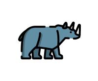
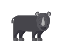
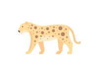
Elephants are constantly being killed in Africa, rhinoceroses have almost completely disappeared in Vietnam and Mozambique, and the tiger population in the whole world, numbering only three thousand individuals, is on the verge of extinction. Large forests are disappearing in many countries of Southeast Asia and the Pacific region due to illegal logging. Given the scope and scale of the destruction of wildlife species and illegal logging, these crimes have taken on the character of a full-scale production. Helicopters and automatic weapons replace trucks and rifles for poachers. The latest technology is used to commit crimes against forest resources. Illegally harvested timber is transported from region to region with the help of an extensive and deeply rooted network of corrupt officials and bribers.

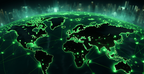
All these criminal actions are due to one and the same reason – an unbridled passion for profit. Helping to combat these and many other crimes are high-tech sensors and related technologies that enable better, faster and cheaper data collection about nature. This provides an opportunity to constantly monitor the environment on an increased scale of space. The proposed tools (online maps and portals) provide an opportunity to carry out automated data collection with increased geographical coverage. Also, individual representatives of wild fauna represent an economically valuable resource of conditionally free nature. This draws the attention of criminal communities to the mastery of the digital network and the development of illegal trade networks. It has been established that the trade in wild animals poses a threat to national security, leads to the loss of biological diversity, the strengthening of corruption, the improvement of cybercrime technologies, ensures the implementation of other anti-social acts and the deterioration of public health. Strengthening the process of introducing digitization into the life of society introduces the emergence of useful and important services. In particular, the digital transformation of the ecological sphere has an impact on the state of the environment and highlights the issue of protecting the environment in which a person lives.

Maps

 Environment Assessment Tool

Detection of harmful substances.


CLICK HERE

Environmental Justice Atlas

Map of global environmental conflicts.


CLICK HERE

World Database Protected Areas

Global forecasts of aerosols, CO2, methane, etc.


CLICK HERE

Atmospheric Monitoring

Database of land and sea territories.


CLICK HERE

Aquaduct (Water Risks)

Water and drought risks on a world map.


CLICK HERE

Pulse GHGsat

Global methane concentration per week.


CLICK HERE

Animals

WildMe & WildBook

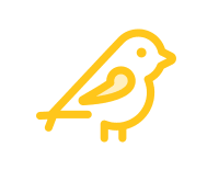
For open source pattern recognition to identify unique whales, sharks, zebras.


CLICK HERE

Rhino Courtcases (Oxpeckers)

Court cases in South Africa related to rhino poaching (map).


CLICK HERE

Locust Hub (FAO)

A map of the visualization of the movement of locusts around the world


CLICK HERE

Poach Tracker (Oxpeckers)

The death of rhinos in South Africa, (on the map).


CLICK HERE

Merlin

Visual identification of birds.


CLICK HERE

BirdNet

Identification of bird sounds.


CLICK HERE

Animals (EIA)

Ivory seizures

Major ivory mines around the world mapped.


CLICK HERE

Hornbill trade

 Removed parts of hornbills in Asia and the USA.


CLICK HERE

Rhino seizures

Rhino incidents and horn trading.


CLICK HERE

Tiger Trade

Trading tigers (parts) on the map.


CLICK HERE

Totoaba seizures

Map of totoaba seizures in Asia and the USA.


CLICK HERE

Leopard Trade

Leopard trade on the map.


CLICK HERE

Environment

Amazon Dashboard

Tracks individual fires and categorizes them.


CLICK HERE

Global Palm Oil Map

Global map of palm oil plantations, 2019.


CLICK HERE

Amazonia Socio Ambiental

Maps and shapefiles of natural protected areas.


CLICK HERE

Global Forest Watch

Detection of changes in the forest cover.


CLICK HERE

Globel Forest Watch Fires

Fires on a global map.


CLICK HERE

Satellite Detected Gas Flaring

SkyTruth two flare maps from Nightfire.


LICK HERE

 Disaster&Damage Assessment

Images and maps of floods, fires, conflicts and IDPs.


CLICK HERE

Explosive Detonation Velocities

Wikipedia list of detonation velocities materials.


CLICK HERE

MineAlert (Oxpeckers)

Mining licenses in South Africa.


CLICK HERE

WildEye Asia (Oxpeckers)

Crimes related to illegal wildlife trade in Africa.


CLICK HERE

WildEye Europe (Oxpeckers)

Crimes related to illegal wildlife trade in Europe.


CLICK HERE

Digital Dangers Map (Oxpeckers)

Online environmental crime stories mapped.


CLICK HERE

Other related articles
Found an error?
If you find an error, take a screenshot and send it to the bot.