Imagine the situation: the last hope — and suddenly a random photo becomes the key to the solution. This is how the author managed to find the right place in Kharkiv, using an unconventional approach — through a garbage container with a logo resembling an apple and a bucket.
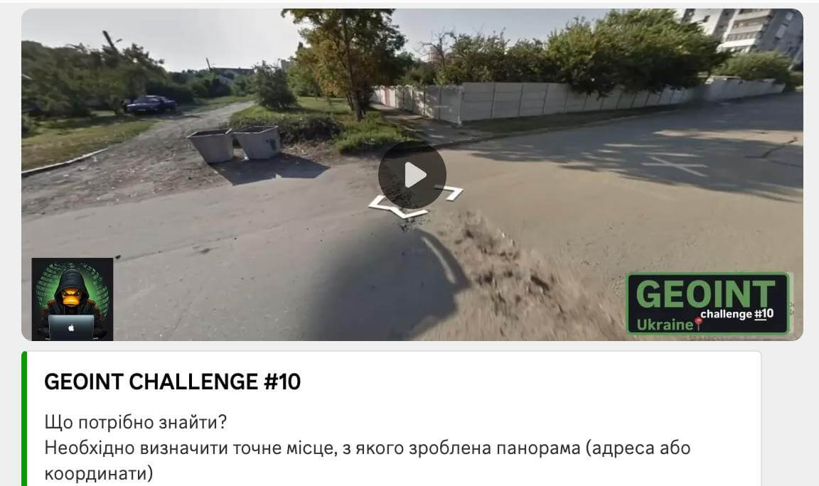
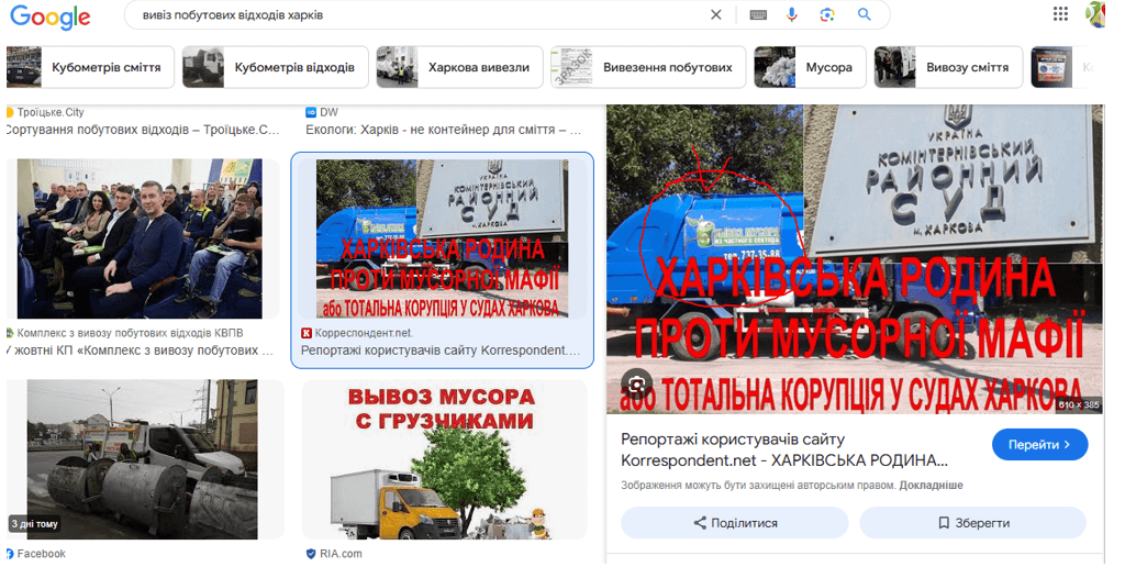
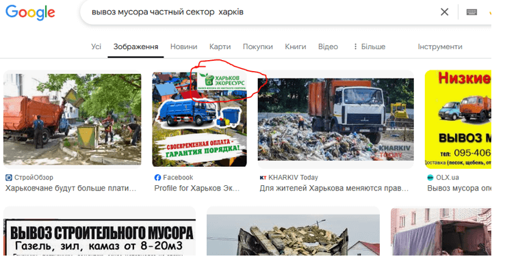
Sometimes a small thing can be the key to a big clue. This is what happened this time – an ordinary garbage container with a logo resembling an apple and a bucket unexpectedly helped determine the exact location within Kharkiv. The search began with Google Lens, but it yielded mostly advertising results on the topic “buy a container Kharkiv”, so it was decided to search not by image, but by keywords.
In the next stage, the task was to determine the location where the private sector borders on multi-storey buildings. For this, the Overpass Turbo service was used, and the query script was generated via a neural network. Despite the presence of houses, garbage cans were not marked on the OpenStreetMap map, so we had to switch to visual analysis via Google Maps and Street View.
The search was focused on houses shaped like the letter “L”, with an emphasis on the southern areas of the city, where private housing predominates. And after just a few minutes of visual analysis, the exact location was identified.
Coordinates: 49.97616830688359, 36.187733117686165
Location: Ukraine, Kharkiv city, residential area on the border of the private sector and high-rise buildings, near Nesterova Street.
Link to the map: Переглянути в Google Maps 🌍
This story is a vivid example of how attention to detail, a step-by-step approach, and the use of modern tools such as Google Street View, Overpass Turbo, and language variations of queries can solve a complex geolocation problem. Instead of a banal image search, the author applied the logic of spatial relationships: he identified the shape of buildings, compared building types, and determined characteristic infrastructure — and as a result, found the exact location among thousands of similar ones.