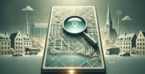
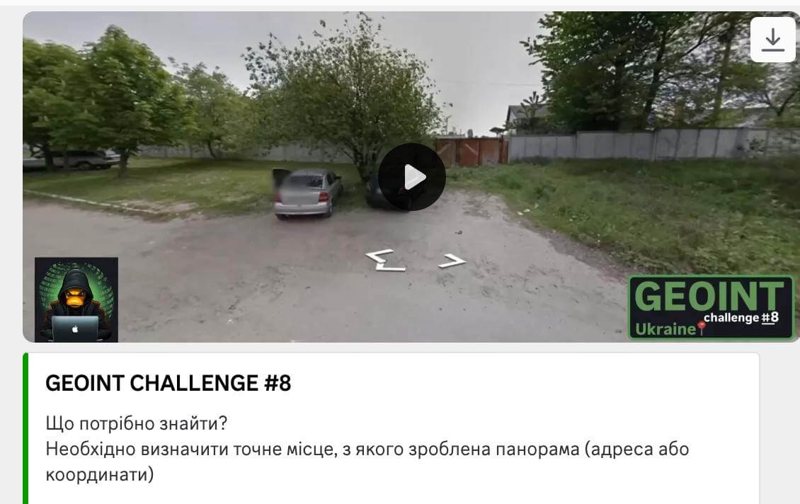
Determining a location from a photo or video is a task that requires careful analysis of details and the use of mapping services. In this study, we will look at a step-by-step algorithm that will help find an accurate geolocation from visual landmarks.
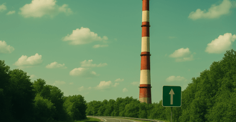
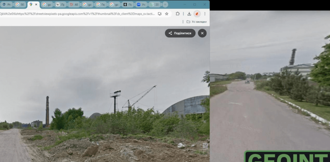
Initial analysis of the video revealed the presence of an industrial pipe, which serves as an important landmark. It has characteristic features that help determine the location from which the panorama was taken. Similar pipes can be found in industrial areas where factories or other production facilities are located. Given these features, the search was initiated in the territory of Lviv region, which may meet such characteristics. (Fig. 8.1)
To clarify possible locations, the Clarity Project website, which contains a database of companies, was used. As a result of the search, it was possible to find a company located in the specified region. The information obtained serves as a starting point for further determination of the location of the pipe. (Figure 8.2)

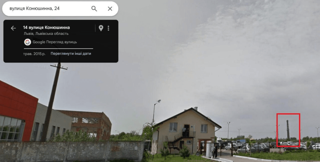
The next stage was to study the area using Google Maps. Streets were opened and a search began for objects that could correspond to the pipe captured on video. During the analysis of cartographic data, a pipe was found that had a significant similarity to the landmark. It became a key point for further study of the area. (Figure 8.3)
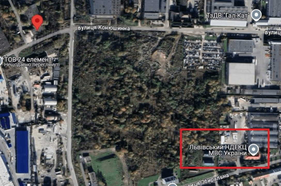
The study of the surrounding area focused on the analysis of nearby objects and buildings that could help narrow the search area. Particular attention was paid to the characteristic features of the landscape and infrastructure elements. After a detailed analysis, it was possible to find the exact location, which fully coincides with the video footage. (Fig. 8.4)
The conducted research and comparison with the video confirmed the correctness of the determined location. The use of precise coordinates allowed us to finally establish the geolocation of the object: 49.825511, 23.923140. (Fig. 8.5)
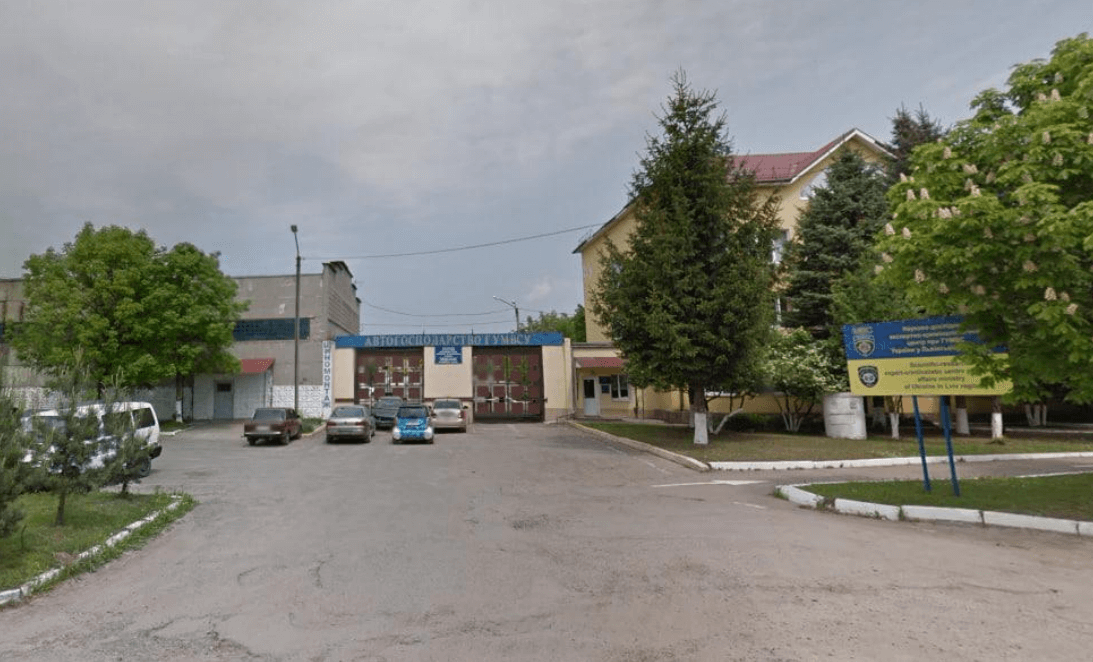
Coordinates: 49.825511, 23.923140
Location: Lviv city, Zbyralna street.
Link to map: Переглянути в Google Maps🌍
The process of determining a location from a video requires careful analysis of the details and the use of mapping services. An industrial pipe was a key landmark in this study, which helped narrow the search to a specific region. Using a company database made it possible to find a possible enterprise, and further work with Google Maps helped to identify the object and verify its correspondence with the video recording.